Bangkok
December 6-27
City in Context
Bangkok is Thailand’s sprawling metropolis located in the center of the country. Sitting on along the banks of the Chao Phraya River, Bangkok has served as the capital of Thailand since the Rattanakosin period over 230 years ago. With a population of 8.3 million in the city and 14 million in the metropolitan region, Bangkok is the beating heart of Thai commerce, business, and leisure. Bangkok is also incredibly popular among tourists, ranking as the most visited city globally, with nearly 22 million visitors visiting a city that is rich in architecture, history, and cuisine (source).

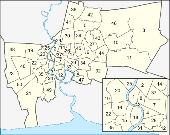
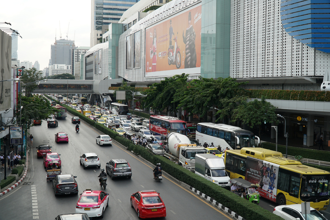
The city’s governing body is the Bangkok Metropolitan Administration (BMA), which constitute some fifty districts (khet, in Thai, see map on the right) that are further subdivided into 180 sub-districts (khwaeng). The BMA is responsible for overseeing the traffic management,construction, maintenance, urban planning, and infrastructure development for transport systems. Unfortunately, many separate government agencies are also in charge of individual systems, and much of transport-related policy planning and funding is contributed to by the national government. With no coordinated transport governance, it is no wonder that Bangkok suffers from the worst traffic congestion in the world after Mexico City (source).
Locals see the problem too. The Bangkok Post has made the point that 37 disparate agencies within BMA are responsible for traffic management, planning, and infrastructure in the city. What’s more, the editorial holds that the city government panders to personal automobile use. As evidence, it points to the city's plans to construct four new bridges across the Chao Phraya River, its runaway air pollution, its lack of green space—less than that of any other Asian capital—and its"...obsession with felling trees along Bangkok streets."
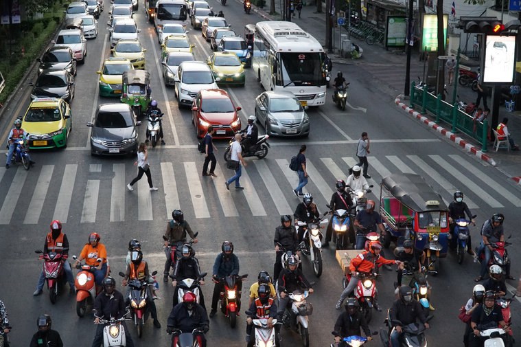
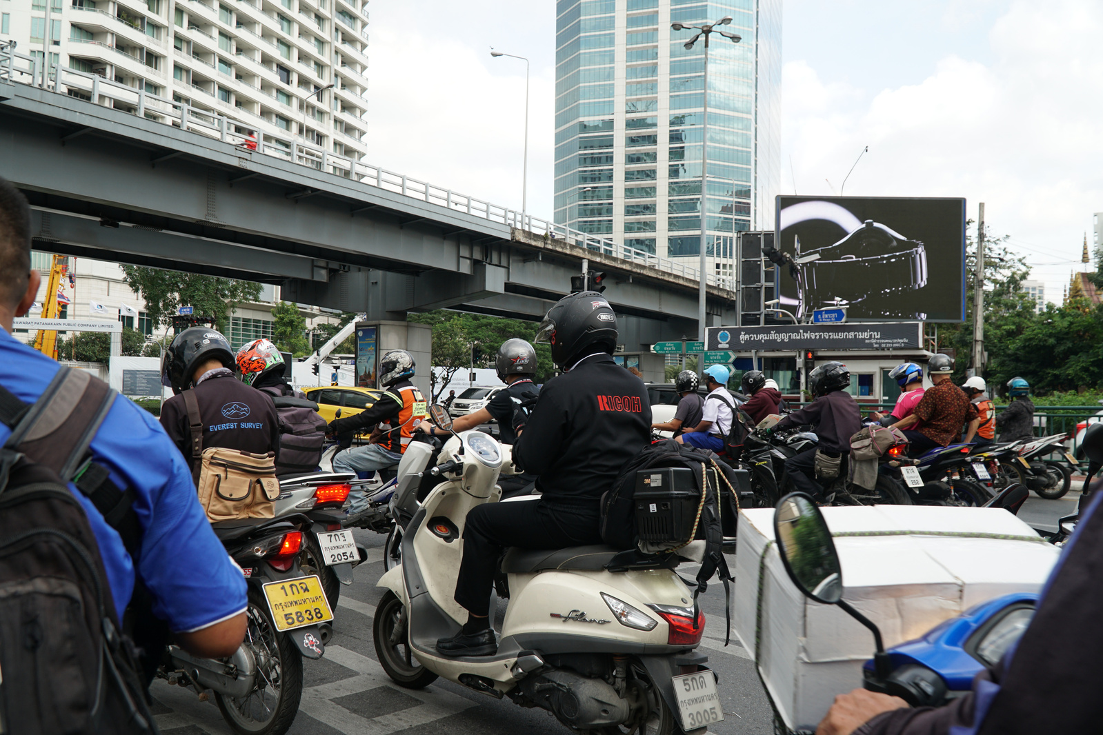
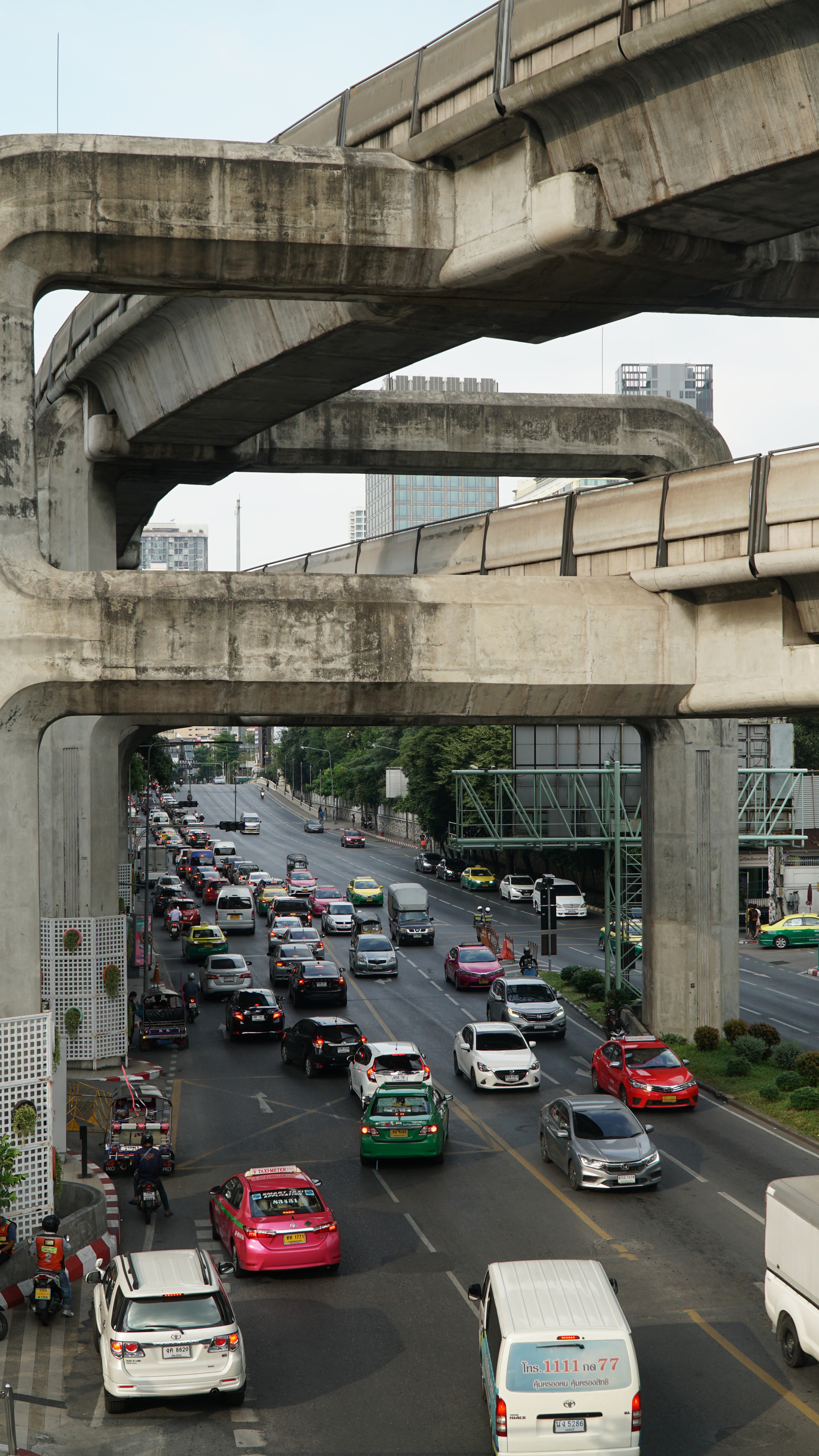
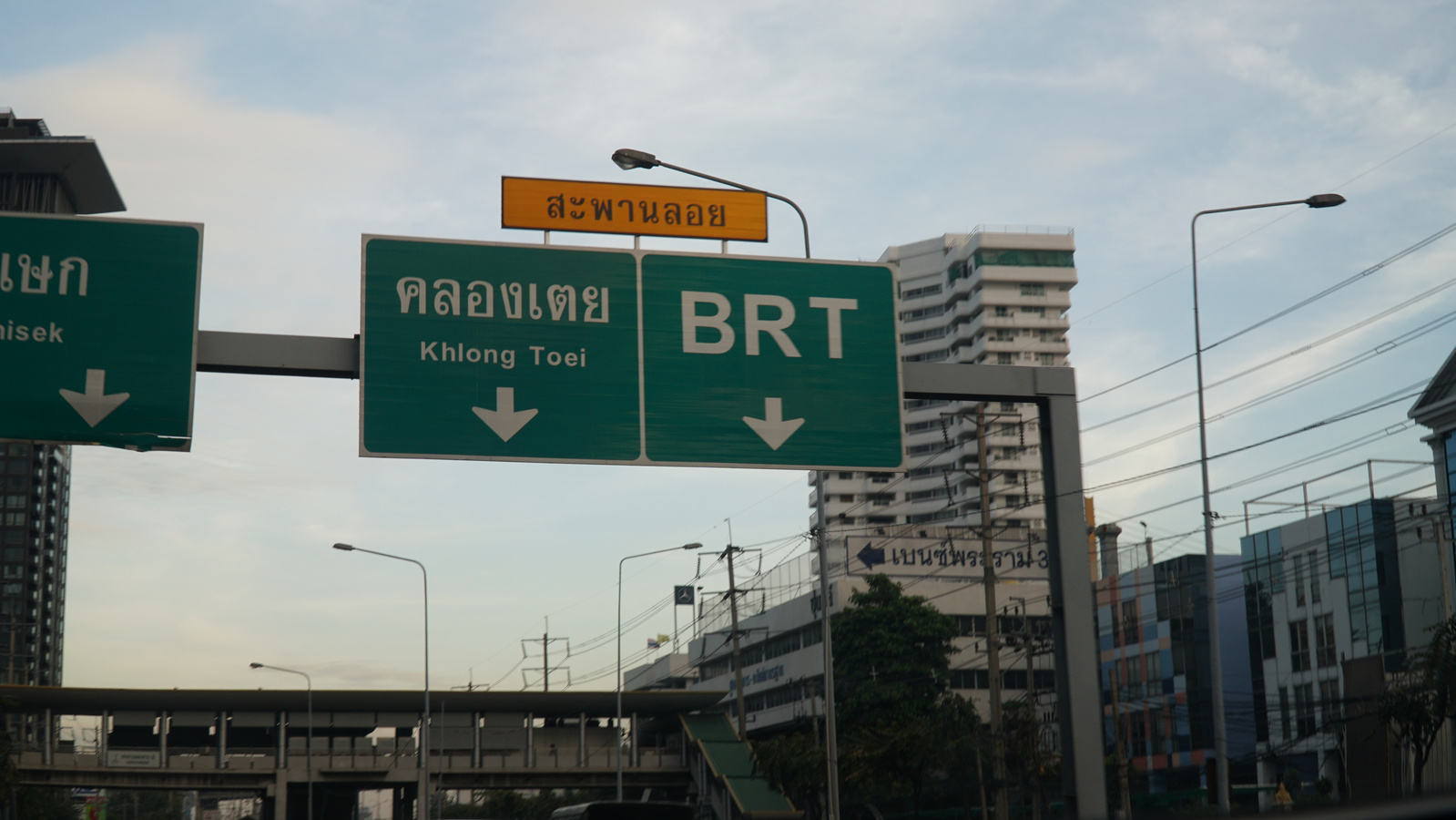
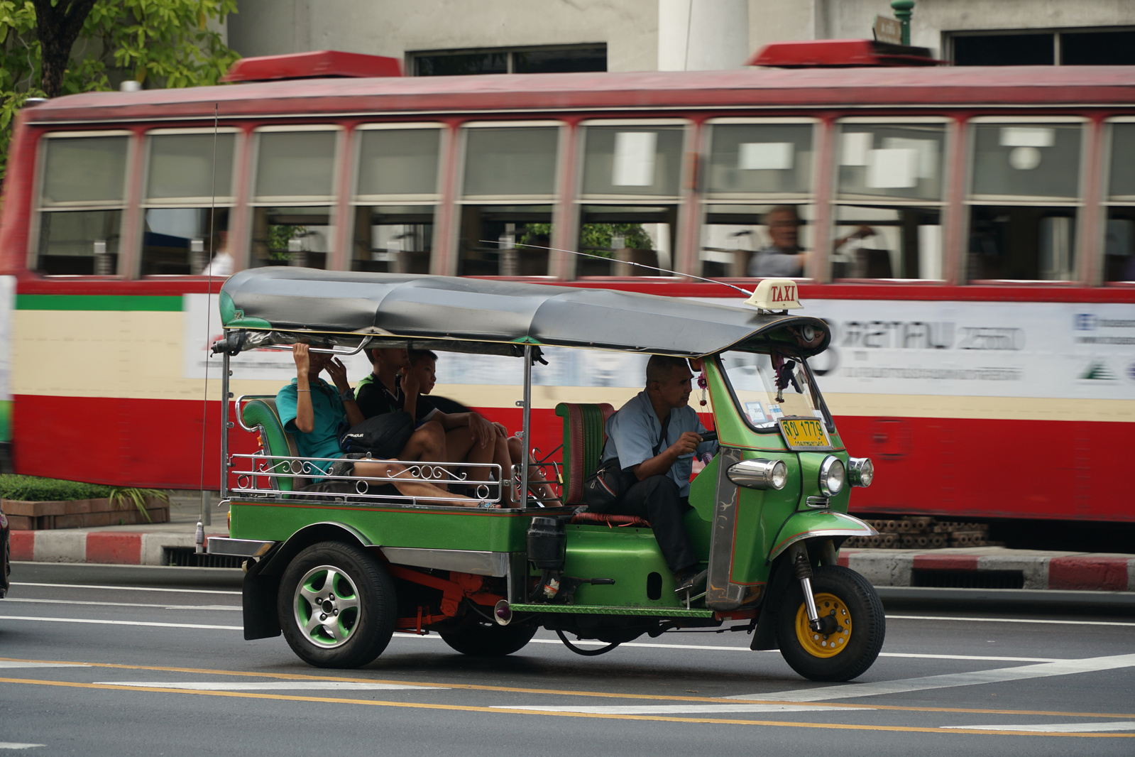
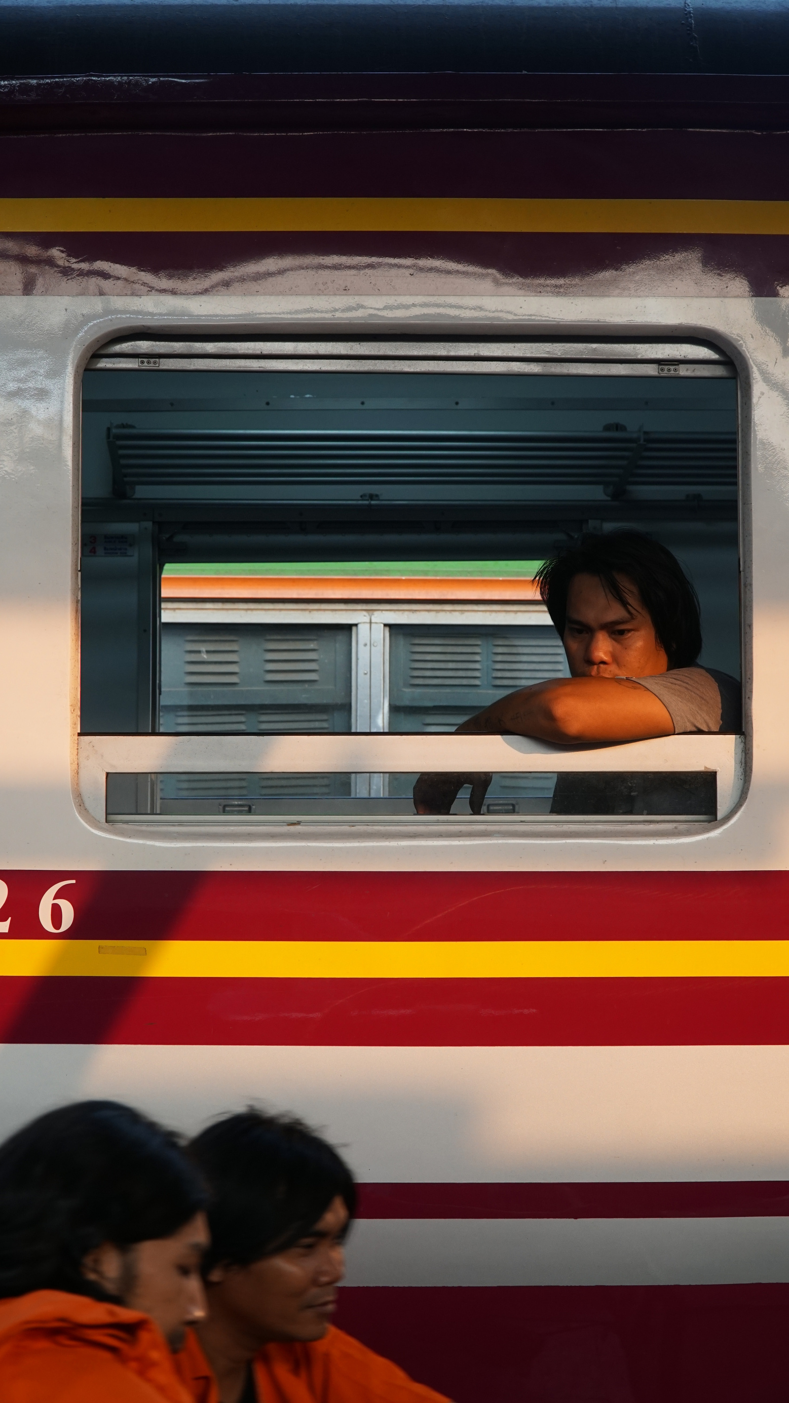
Bangkok's rapid growth and disconnected urban planning has resulted in a haphazard cityscape and inadequate infrastructure. A convoluted street layout, together with substantial private car usage, have led to chronic and crippling traffic congestion, which are significant contributors to severe air pollution. So, with Bangkok’s notoriously congested streets, where millions of cars are joined by tuk-tuks and motorcycle taxis to maneuver through Bangkok’s streets, what are the alternatives? What are stakeholders doing to ease what some call, the “pain of the city,” for commuters? Returning to the city where I was born in 1996, I was keen to find out and speak with people who are tackling this issue head-on.

Venice of the East - Water Transport in Bangkok
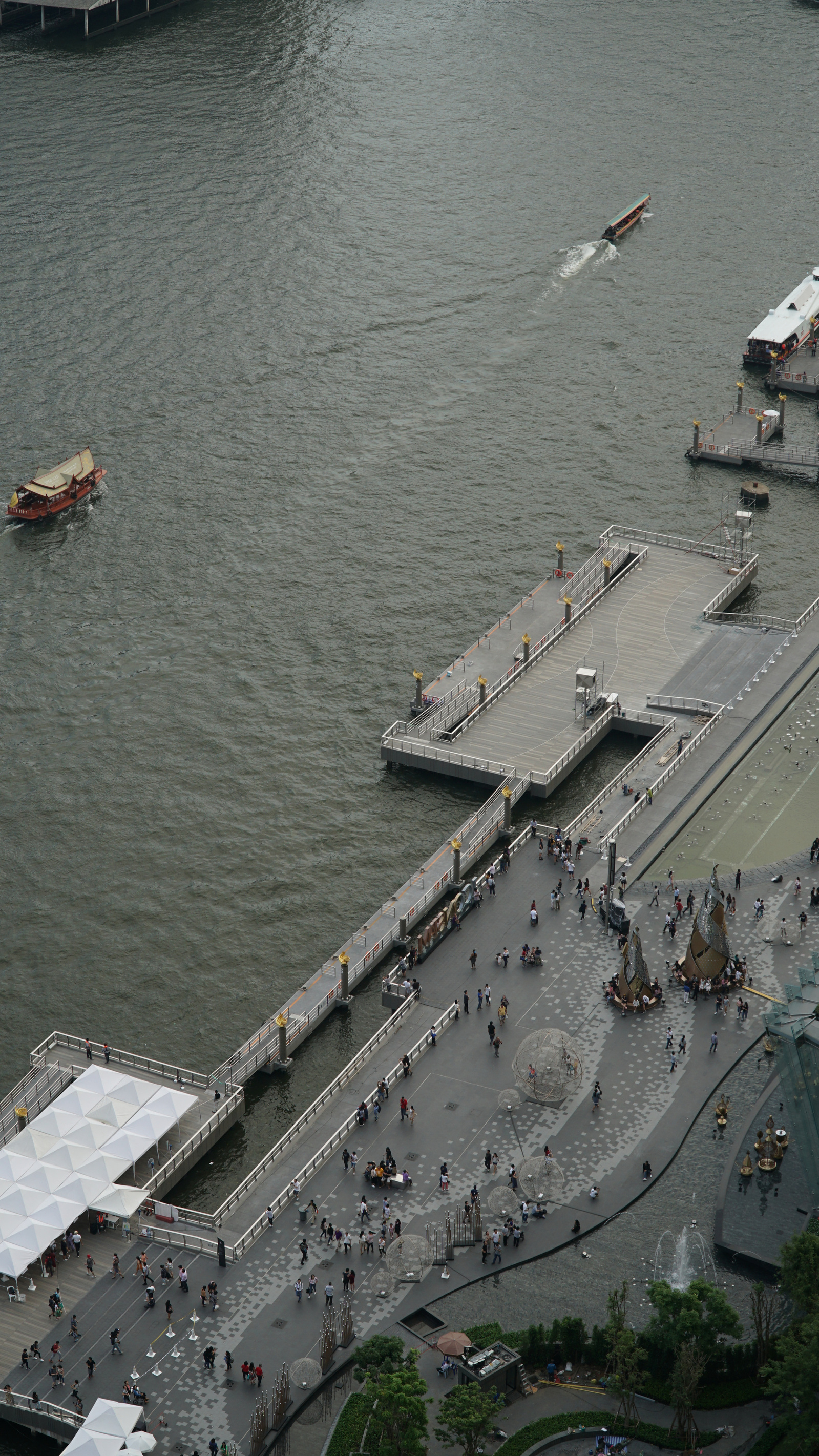
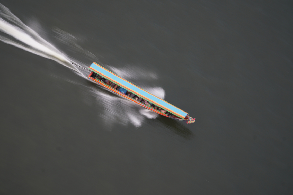
Since 1522, long before becoming the capital of Thailand in 1782, Bangkok was known as the “Venice of the East.” Bangkok featured an extensive series of canals that dominated transport (and housing) in the city. However, the role of water-based transport has gradually diminished over the years and has largely been replaced by roads and other land-based forms of transport. Today, three main types of boat operations are catering their services which include express boats, ferryboats and long-tailed boats. The canals that still exist (known as khlongs) are traversed by long tailed boats. These boat services carry some 100,000 passengers daily, and provide convenient transfers to Skytrain, Subway, and Bus services.

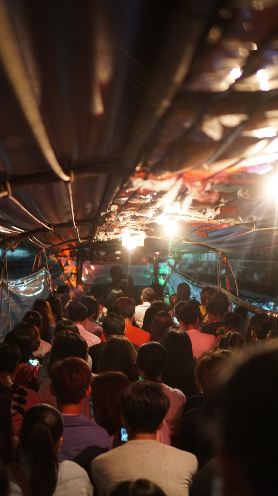
Curious about this form of water-based mobility, I took one of the khlongboats myself as part of a multi-modal journey back to my host’s office. My first impression was commuting by longtail boat is not for the casual commuter.Stops are extremely short, with very short windows for boarding and alighting.Sometimes, the boats don’t stop at all and speed past docks, creating waves that sometimes knock passengers over (see video). Despite this, these longtail boats provide an effective service that should not also be expanded, but also formalized and integrated with the rest of Bangkok’s transport network.
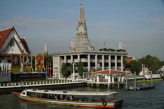
Water-based mobility is receiving renewed interest as a viable alternative to land transport options in Bangkok. Currently, express boats (see below) cater to the needs of those who commute along the Chao Phraya River. Other ferryboats serve passengers within the breadth of Chao PhrayaRiver, enabling them to cross the river at several locations, including between the Grand Palace and Wat Arun temple. However, some of the piers along the river are more than fifty years old and are in desperate need of repair. The Marine Department has commissioned the Bangkok Urban Design and Development Center (UDDC) to redesign and upgrade the piers under a project called “Active River Station.”

Three pilot piers will be redesigned and will serve as iterative prototypes for the Marine Department to scale up to more than 33 piers that are used for passenger transport services. I spoke with Adisak Guntamueanglee and Niramon Kulsrisombat, directors at UDDC. They stated that piers represent significant development potential as Bangkok densifies and looks to activate once-abandoned property along the Chao Praya River.
Their vision is to develop a closed system similar to land-based public transport modes (BTS Skytrain and Subway). The piers will be designed with universal design principles to ensure mobility for those bound by wheelchair and simplify boarding and alighting. Three separate zones would simplify passenger movement: the first zone would be the surrounding area, the second would comprise of passenger waiting areas, and the third would be where people board.

The UDDC hopes to return water-based mobility to a seamless and attractive way to get around. Any alternative to the automobile should be welcomed with open arms, in my opinion. This project can benefit from collaboration with riverfront property developers to activate the riverfront. In this manner, more demand for water-based transport can take hold, and take a step towards returning the title "Venice of the East” back to Bangkok.
Click here to read Bangkok Post’s article about the Active River Station project.
Click here for the project’s Facebook page for photos.
Regeneration of the Chao Phraya - Yannawa Riverfront Project
Given a renewed look towards the Chao Phraya River, Bangkok may soon have its own public riverside promenade called the Yannawa Riverfront. Like the Bund in Shanghai, the project aims to create public space along the riverfront to promote leisure and active mobility. At five meters wide and 1.2 kilometers long, the car-free zone will feature a walkway, green spaces, cycle lanes, and recreation spaces.

Renderings of the Yannawa Riverfront Project. Source
The Yannawa Riverfront is situated strategically to connect Bang Rak and Bang Kholaem business districts. What’s more, Yannawa itself is a major hub for land and water transport with linkages to a express boat stop.

Bike lanes feature prominently on the Yannawa Riverfont. Source
Extensive stakeholder engagement took place over the course of Yannawa Riverfront’s ideation phases. The project started as a study workshop, with the initial steps being to collect local communties’ views. Concerns of noise and crime were listened to and accounted for. Not engaging in a participatory design process for a project of this scale crystallizes economic and social exclusion, Niramon Kulsrisombat told me when we met at UDDC’s office. Only when urban regeneration projects provide everyone with equal opportunities to enjoy public space will they have a chance at succeeding.
Sathorn Model - Sustainable Mobility Initiatives in a BKK District
The private sector is increasingly recognizing the need for more sustainable forms of mobility in citiesaround the globe. In Stuttgart, Germany, I visited auto manufacturer Daimler’s subsidiary, moovel, which actively seeks to develop a platform for car-freeurban mobility. Other private companies are seeing these developments as a call to action to develop business models that prepare for a future without private car ownership.
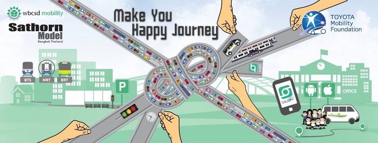
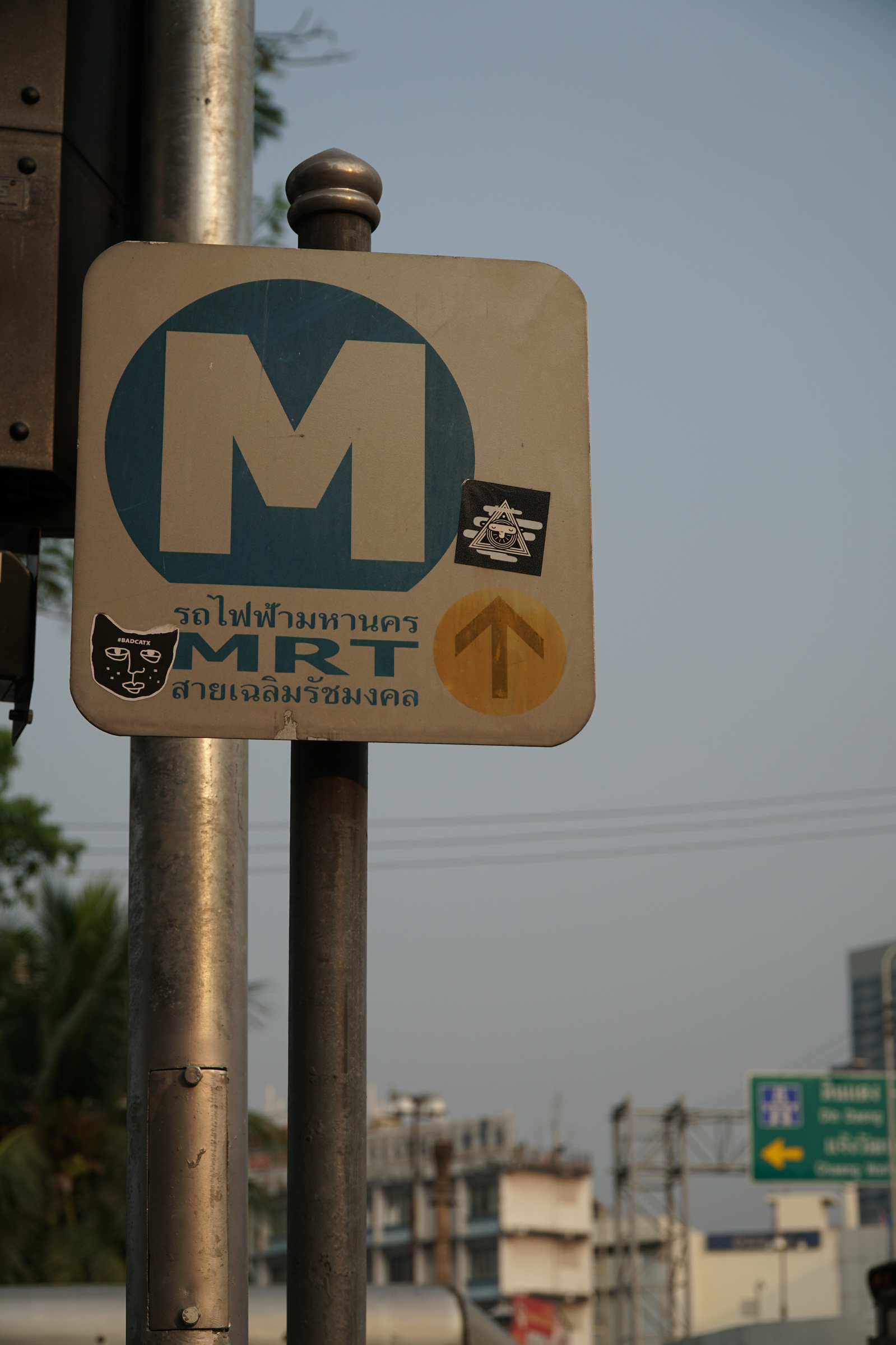
This is the rationale behind the formation of the World Business Council for Sustainable Development (WBCSD), comprising of 15 leading corporations. In April 2014, the Sustainable Mobility Project 2.0 (SMP) selected Bangkok as one of six cities for the project, and in April 2015, Toyota Mobility Foundation, alongside Chulalongkorn University, set out to engage in a pilot project that accelerated progress towards multi-modal and low-environment impact mobility in Bangkok. The project sought to include numerous agencies such as the Bangkok Mass Transit System (BTS Skytrain), the Metropolitan Rapid Transit (MRT), and representatives from schools and business in the Sathorn and Silom neighborhoods of Bangkok.
The Sathorn Model project consisted of traffic demand management (TDM) and traffic flow management (TFM) schemes. TDM measures included park and ride facilities to improve access to BTS and MRT stations, shuttle buses for local high school and university students, and finally flexible working hours and intelligent traffic information systems to encourage citizens to choose the optimum timing and mode of transport. TFM measures included bottleneck mitigation and traffic signal optimization. Altogether the project team called these “social experiments” to see the impact on travel behavior.
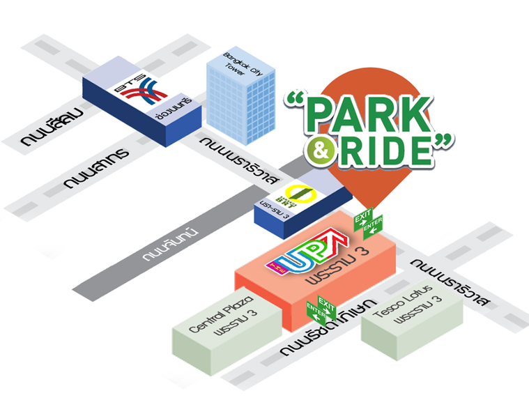
A map showcasing one of fifteen park and ride locations. Image source: Sathorn Model Facebook
The Park and Ride aspect of the Sathorn Model proved difficult to significantly change commuter behavior. Researchers had trouble finding locations that were attractive in terms of cost to the operator and convenience for the user. Only one out of fifteen parking locations were sustainable. The main trouble is that land alongside mass transit lines is typically higher than land further away. In the future, transit operators should set aside land or construct P+R facilities that is integrated with station facilities, making the transfer more seamless while providing an additional revenue stream. To this end, the Bangkok MRT has included P+R in four of the sixteen stations along the new Purple Line.
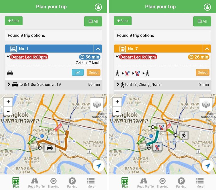
The LinkFlow trip planning app displays a menu of options for different modes of transport, including live traffic conditions.
Image source: Sathorn Model Facebook
Another key intervention in the Sathorn Modelproject was the use of trip planning apps to influence changes in travel patterns. Called Linkflow, the app provided options for P+R facilities, trip combinations and their respective durations, and live traffic monitoring. The Linkflow application and its data was used to analyze traffic related issues in the Sathorn area, and companies that participated in the Sathorn Model pilot project receive monthly company mobility reports for employee travel patterns.With this in mind, shuttles, carpooling, or accommodation of flextime working hours could be rationalized using data collected in the app.
The main takeaway from the Sathorn model is that “pulling”people out of cars and “pushing” them into available mass transit systems (BTS,MRT, and BRT) is most effective at reducing traffic congestion in the city center.For now, the Sathorn Model serves as a toolbox of interventions that can beacted upon by the city government. This is codified by an MOU signedby the Deputy Prime Minister of Thailand to spread the Sathorn Model to other areas of Thailand given the expansion of the mass transit system.
Read the full report about the Sathorn Model here. I am thankful to Professor Sorawit Narupiti of Chulalongkorn University and Mr. Chadil Tuchinda of Toyota Mobility Foundation for speaking to me about the project, and speaking candidly about mobility paradigms in Bangkok and greater Thailand.

Parting Thoughts
Being back in my birthplace of Bangkok was a stark reminder of how far the city has to go in regards to urban transport. With among the highest levels of traffic congestion in the world, the city desperately needs to find alternatives to the private automobile. This need has been accentuated by recent air pollution crises,caused by the convergence of unchecked urbanization, a car-crazy populace and lax regulation. In Bangkok, it is estimated that roughly 60 percent of the city’s polluted air can be attributed to vehicle emissions. In January 2019, the city used water cannons in an effort to alleviate the smog that has shrouded Bangkok for weeks. This solution is not addressing the problem in one of my favorite Asian cities.
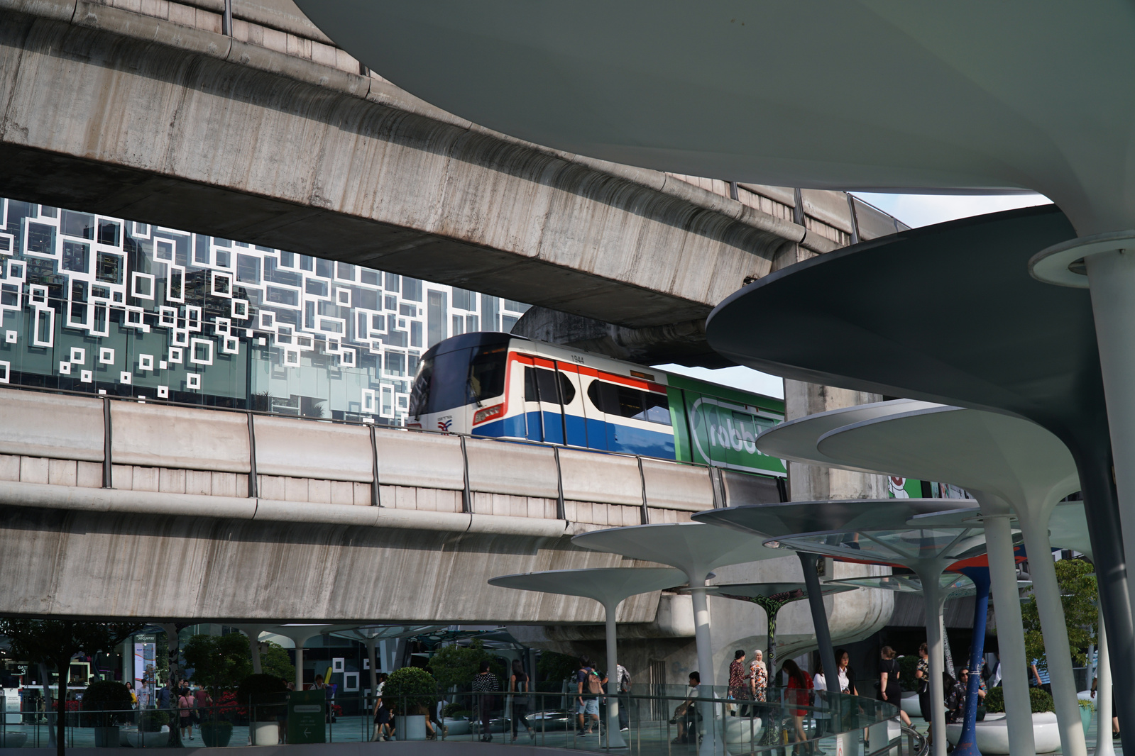
Thankfully, aggressive expansion of the city’s MRT and BTS mass transit systems is being pursued by the Bangkok Mass Transit Master Plan. A more concerted effort towards densifying the city center aims to reduce the need to commute far distances by car. Initiatives like the Sathorn Model and the Active River Station need to be scaled up by sustained efforts on behalf of the government. Only then will the city be able to shape mobility patterns in a way that offer a more sustainable form of urban living in the Big Mango.